Singapore As A Maritime Gateway Before Independence
Strategically perched at the southern tip of the Malay Peninsula, Singapore has served as a vital maritime gateway since at least the 14th century, long before the first colonial ships arrived. Recognised by navigators as an essential port of call between the Indian Ocean and the South China Sea, the island thrived as a bustling entrepot where porcelain, spices, and stories were exchanged between traders from the East and West. Although Singapore’s maritime narrative experienced cycles of rise and decline due to shifting geopolitical developments, its role as a trade gateway persisted and continued after the arrival of the British.
A Pre-Colonial Maritime Gateway
The existence of Singapore as a pre-colonial maritime gateway is no longer a matter of myth but a reality etched into historical sources including texts, maps, navigational charts and archaeological findings. These sources reveal Singapore then was busy multicultural port where traders from Southeast Asia, China, India and the Middle East did not just “pass through” but sought out the island as a port of call. Singapore then was called Temasek, which means “sea port” in Old Javanese. Founded in the late 13th century, it flourished in the following century.
Pre-Colonial Singapore in Selected Publications
For a long time, early Singapore was shrouded in legend, but its status as a vibrant pre-colonial gateway is now firmly grounded in the country’s historical narrative. Rigorous research in recent publications, most notably the landmark Seven Hundred Years: A History of Singapore, has meticulously pieced together this era using historical sources. Some of these titles are shown below.
Pre-Colonial Singapore in Selected Historical Sources
Archaeological finds at sites like Fort Canning and the Singapore River ranging from delicate Chinese porcelain to local earthenware confirm that Singapore was a place of high commerce from as far back as the 14th century. This is backed by other historical sources including maps and historical text. Below, we have featured some of these key sources to provide clear evidence of a thriving, pre-1819 Singapore.
A Colonial Maritime Gateway
Singapore’s maritime identity during the colonial period can be defined by three distinct coastal zones, each serving a specific role in the colony’s development. The Singapore River functioned as the historical wharf where lighters loaded and unloaded goods from larger ships anchored off the coast to facilitate the entrepôt trade. The development New Harbour (Keppel Harbour) in Tanjong Pagar marked a shift to deep-water berths and dry docks that were more suitable for bigger vessels including steam-powered ships. In contrast, the Kallang Basin emerged as an industrial frontier with shipyards, sawmills, brick kilns and gas production. Together, these locations illustrate Singapore’s transition from an indigenous maritime settlement into a colonial industrial port.
Singapore River
The Singapore River was the bustling heart of the island’s economy and the primary stage for its maritime success. Far from just a waterway, it was a crowded, chaotic corridor where the world’s goods, from Chinese silk to Javanese spices, were hauled ashore to be traded. This three-kilometer stretch of water served as the original “Main Street” for a burgeoning colonial port, defining the lives of the merchants, laborers and sailors who built up Singapore as a colonial maritime gateway.
New Harbour (later Keppel Harbour)
With the rise of maritime trade, Singapore’s harbour infrastructure evolved alongside to support the growing maritime commerce activities. A pivotal turning point occurred with the survey of New Harbour off Tanjong Pagar coast in 1848 by Captain Henry Keppel. This development marked a crucial transition, as it eventually led to the expansion of Singapore’s maritime boundaries beyond the shallow, congested banks of the Singapore River to Tanjong Pagar.
Kallang Basin
While the Singapore River functioned as a commercial hub, Kallang Basin was a centre for workshops and industries during the colonial period. Situated at the confluence of the Kallang, Rochor, and Geylang rivers, the area was initially inhibited by the Orang Kallang before it started supporting a range of activities from shipbuilding and repair to timber and gas production.
Infrastructure Boom
During the colonial period, the rapid growth of Singapore as a maritime gateway triggered a massive infrastructure boom that reshaped the island’s topography. The colonial administration realised that an efficient port would require equally sophisticated inland support. This led to the development of a complex network of railways, roads, and piers designed to bridge the gap between deep-water berths and the commercial town. These projects were not merely local improvements but strategic links that connected the Malayan hinterland’s resources such as rubber and tin to global shipping lanes.
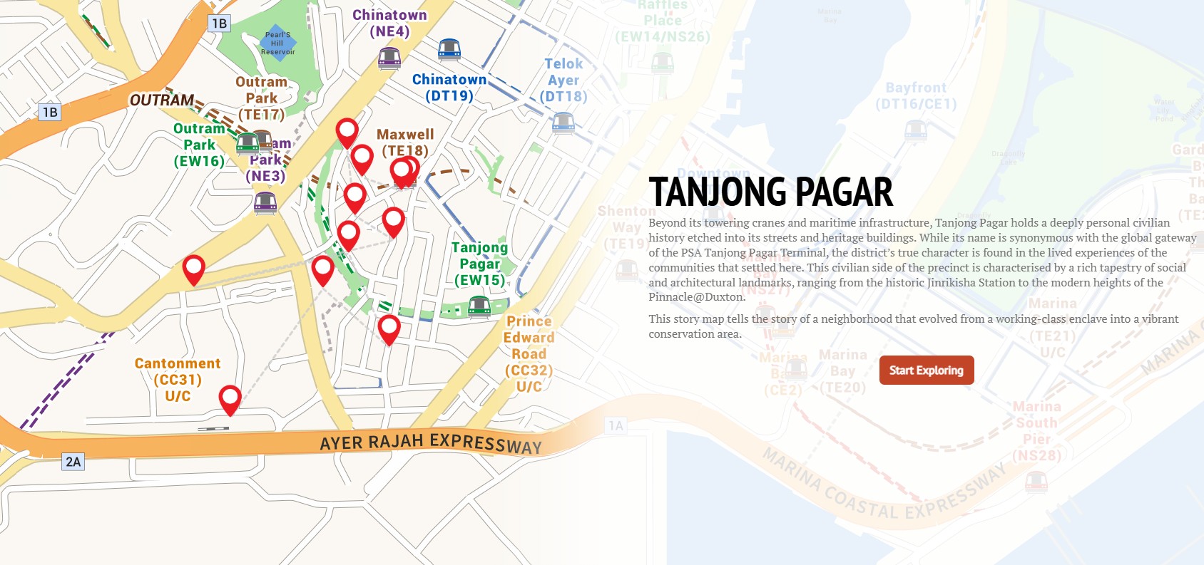
Anchoring a District: How the Port Built Tanjong Pagar
Tanjong Pagar’s unique identity as a vibrant heritage district is inseparable from its maritime roots. As the 19th-century transition from sail to steam necessitated deeper waters, the heart of Singapore’s commerce shifted from the shallow Singapore River to the New Harbour (now Keppel Harbour). This relocation triggered an unprecedented infrastructure boom, transforming a landscape of fishing villages and nutmeg plantations into a massive industrial hub. From the pioneering construction of the Victoria and Albert Docks to the sprawling network of warehouses and shophouses that rose to support a burgeoning workforce, the port acted as the primary architect of the area. This story map explores the colonial-era developments that anchored Tanjong Pagar’s status as a vital node in global trade and shaped the urban character the district retains today.