
Central Area
The economic and historic heart of Singapore
Last updated 3 August 2026
Explore the Story Maps of Central Area Singapore
Comprising the 11 Planning Areas of Outram, Museum, Newton, River Valley, Singapore River, Marina South, Marina East, Straits View, Rochor, Orchard and Downtown Core, the Central Area is both the economic and historic heart of Singapore. Having a mix of both modern and heritage buildings, this area creates a unique cityscape that attests us to our vibrant and plural history, as well as our economic progress from colonial outpost to a thriving global financial and business hub.
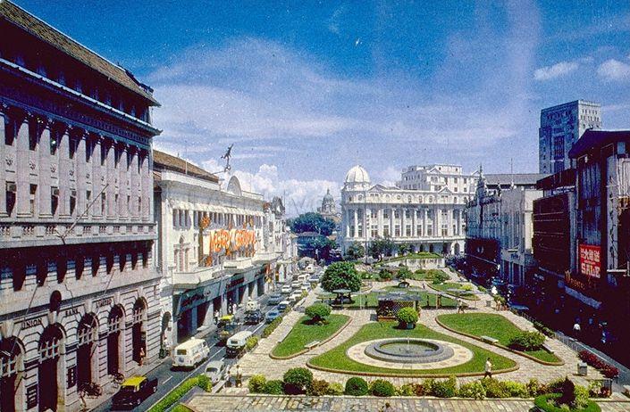
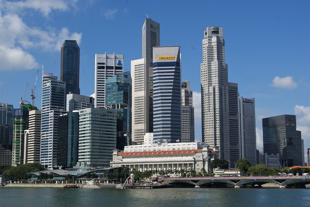
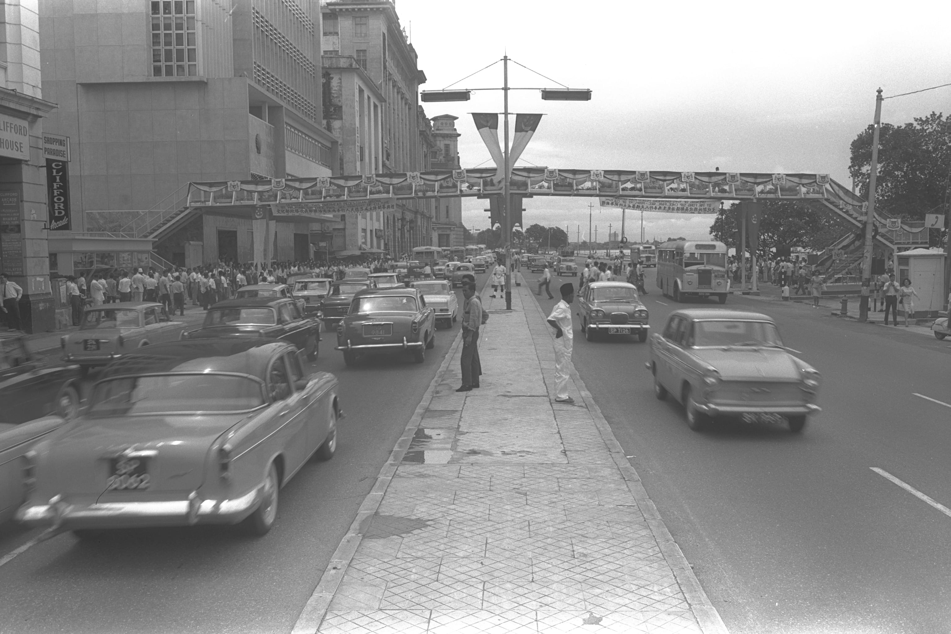
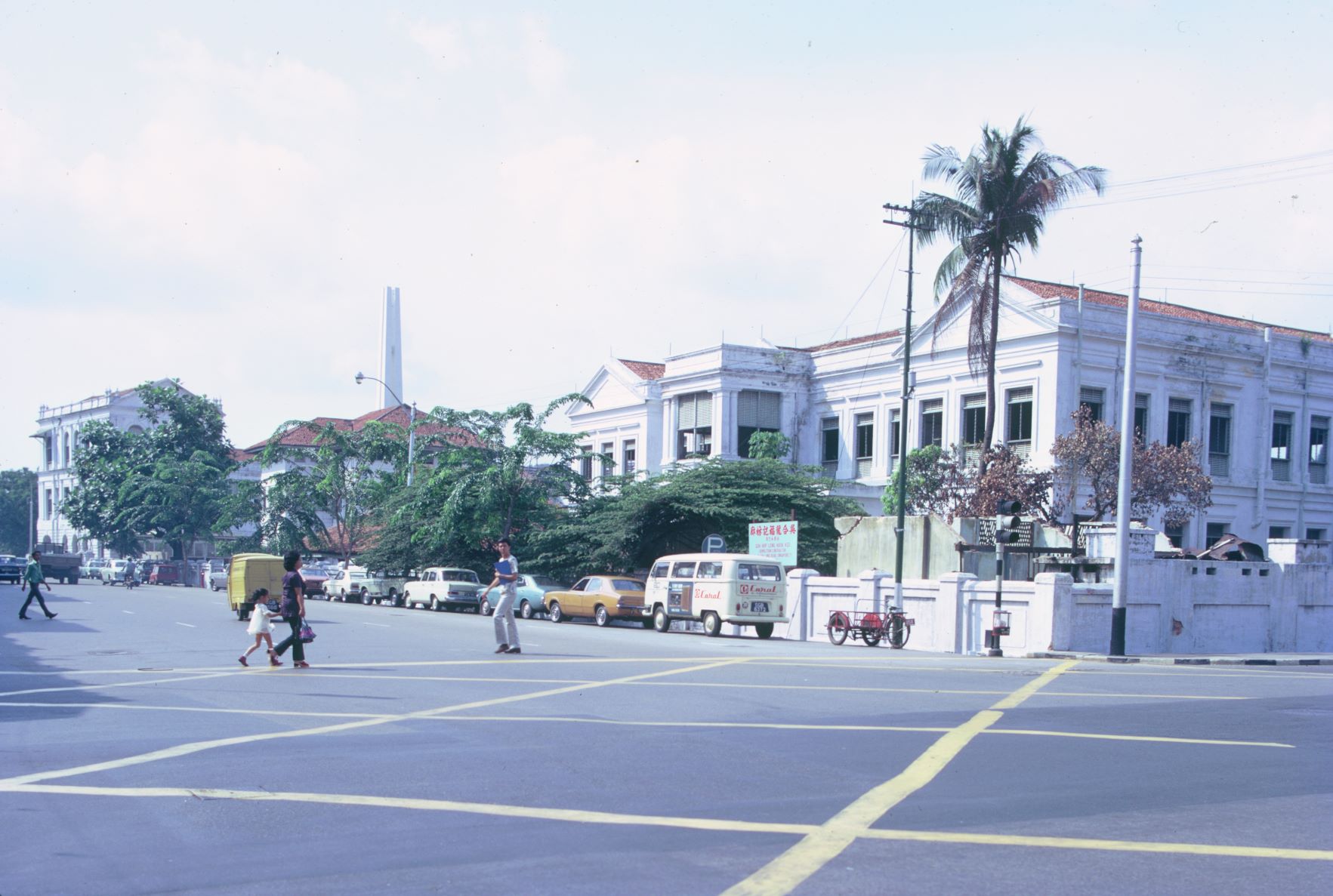
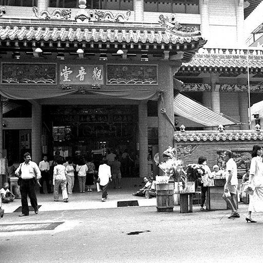
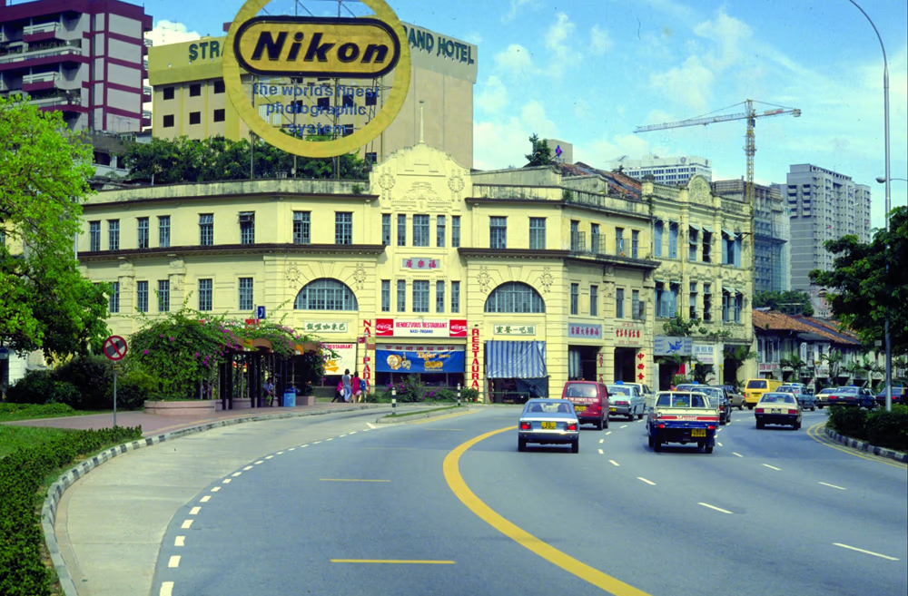
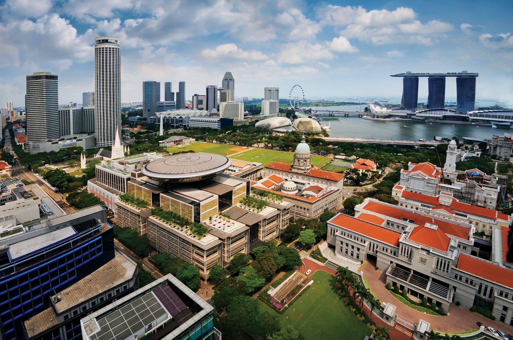
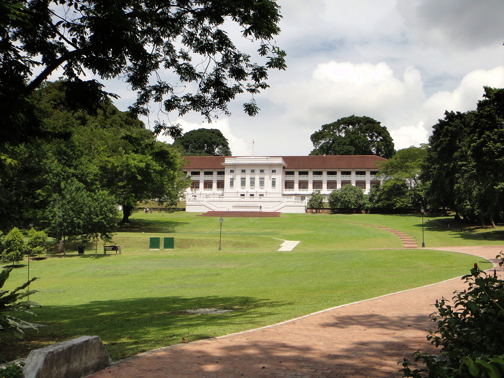
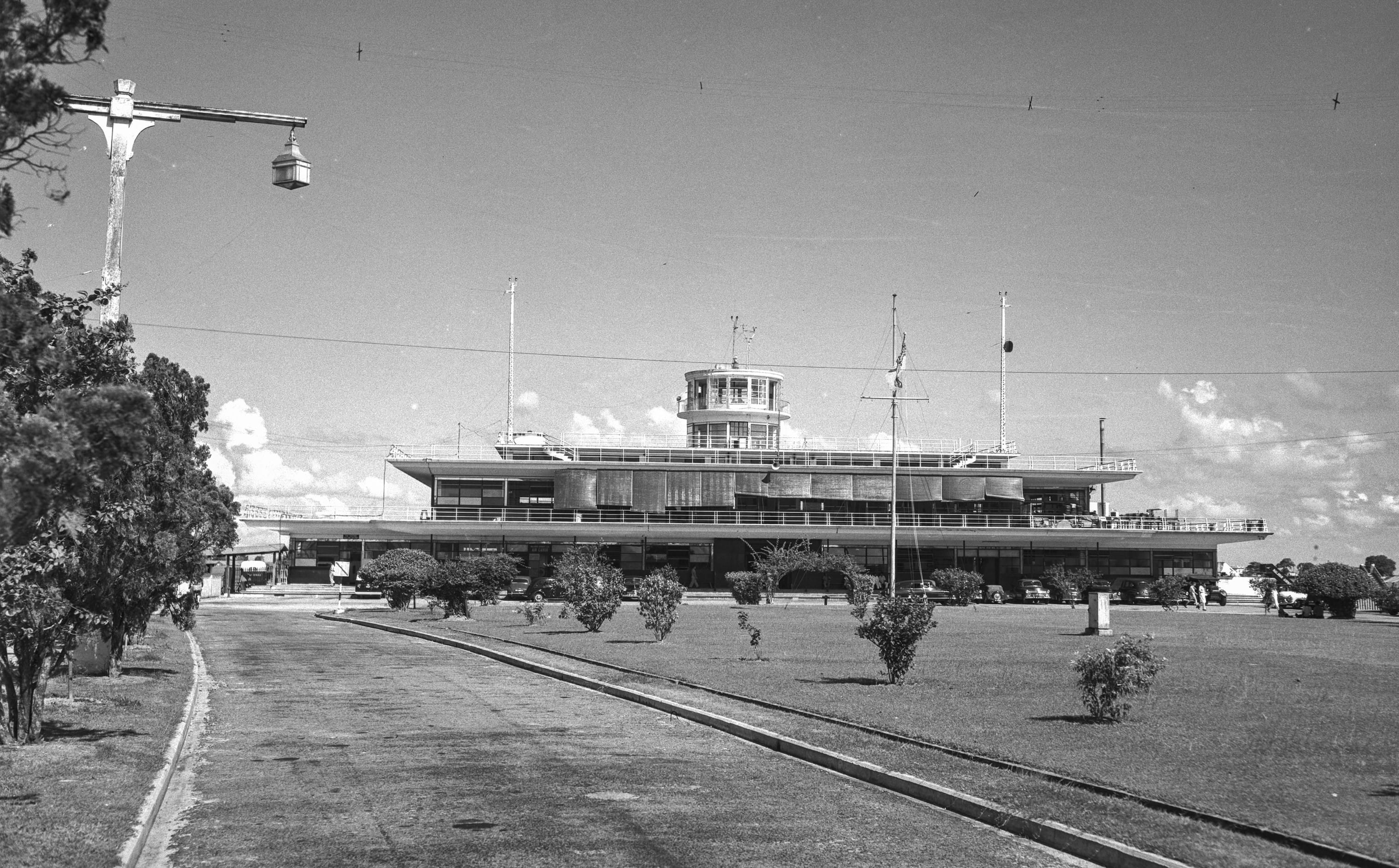
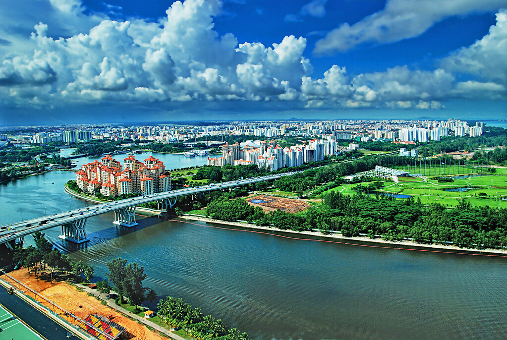
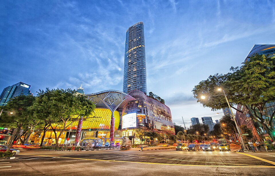
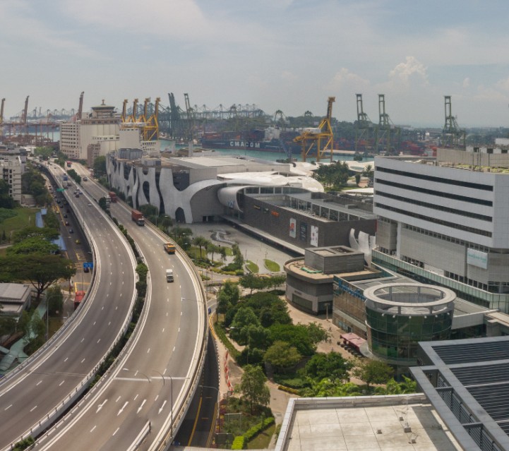
Image Credit
1960s Raffles Place photo from Arshak C Galstaun Collection, courtesy of National Archives of Singapore (opens in new tab)
Raffles Place Today photo by Jukkabrother via Wikicommons (opens in new tab) (CC BY-SA 4.0)
Raffles Place Streets photo from Ministry of Information and the Arts Collection, courtesy of National Archives of Singapore (opens in new tab)
Bras Basah schools photo All Rights Reserved. Lee Kip Lin and National Library Board Singapore 2009 (opens in new tab).
Bras Basah places of worship photo Courtesy of National Archives of Singapore (opens in new tab)
Bras Basah streets photo from Ronni Pinsler Collection, courtesy of National Archives of Singapore (opens in new tab)
Civic District photo by William Cho via Wikicommons (opens in new tab) (CC BY-SA 2.0)
Fort Canning photo by Matt Kieffer via Flickr (opens in new tab) (CC BY-SA 2.0)
Old Kallang photo from Ministry of Information and the Arts Collection, courtesy of National Archives of Singapore (opens in new tab)
Present day Kallang photo by William Cho via Flickr (opens in new tab) (CC BY-NC-SA 2.0)
Orchard Road photo by chensiyuan via Wikicommons (opens in new tab) (CC BY-SA 4.0)
HarbourFront photo by Maksym via Wikicommons (opens in new tab) (CC BY-SA 4.0)