
The Heartland
Places beyond the city centre
Last updated on 10 September 2026
Story Maps of Our Heartland
‘Heartland’ refers to areas beyond the city centre, outside of the Central Area. Populated mostly by public housing, they are self-sufficient housing estates completed with amenities ranging from schools, shops, markets, cinemas, stadiums, shopping malls and places of worship. Beyond their functionalities, these housing estates are also rich in social memories thus allowing us obtain an invaluable part of Singapore history less seen in the mainstream historical narrative. Learn more about these places through the story maps below.
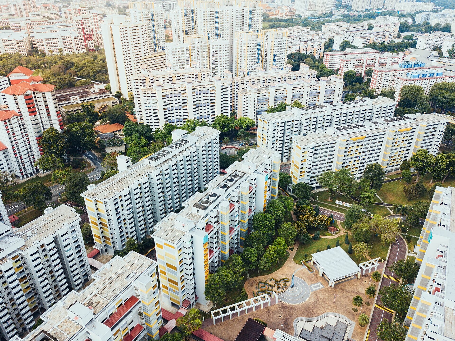
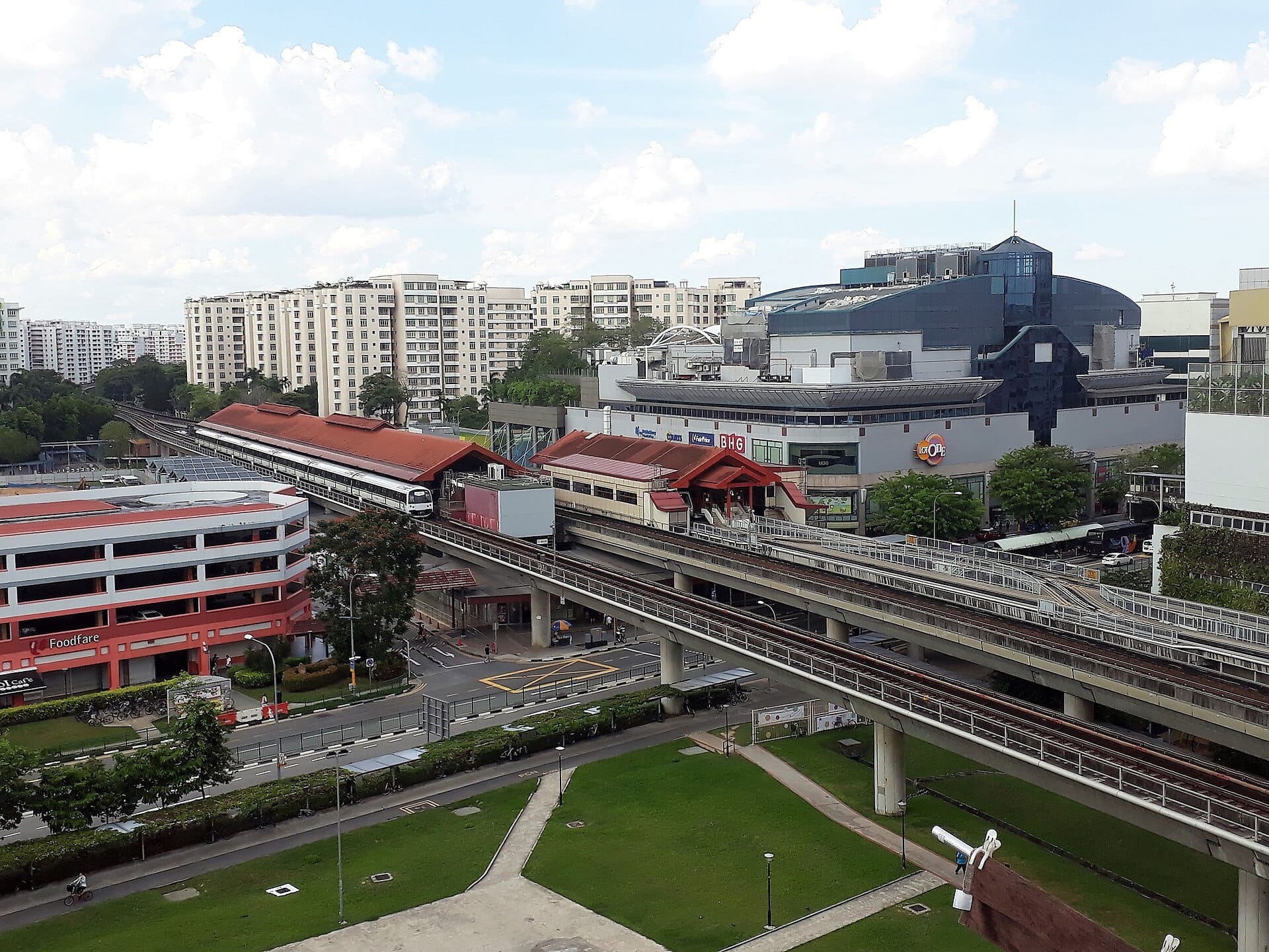
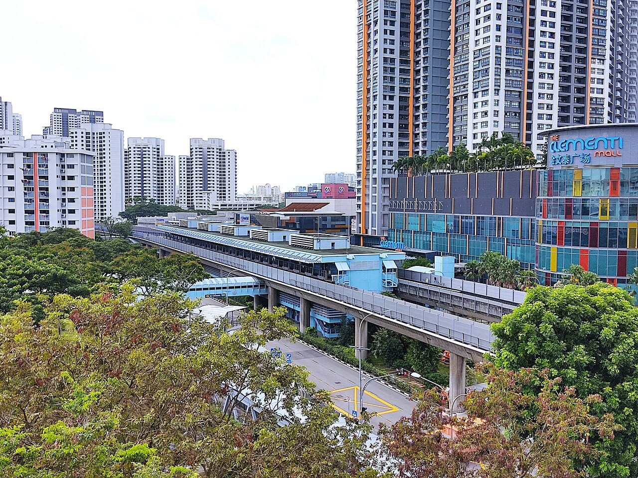
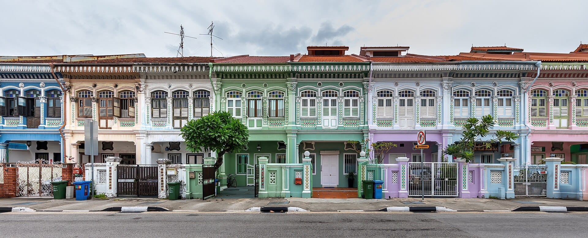
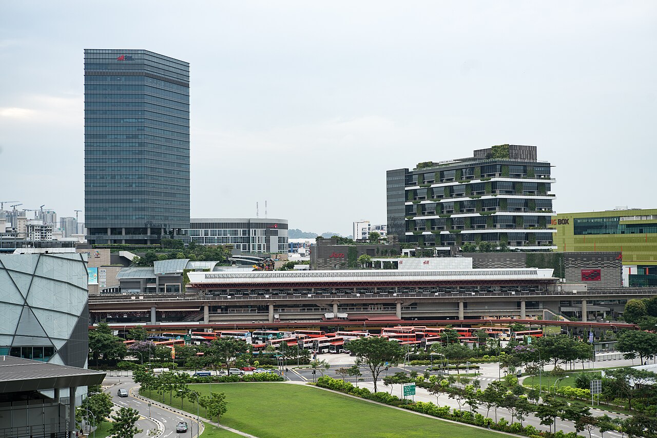
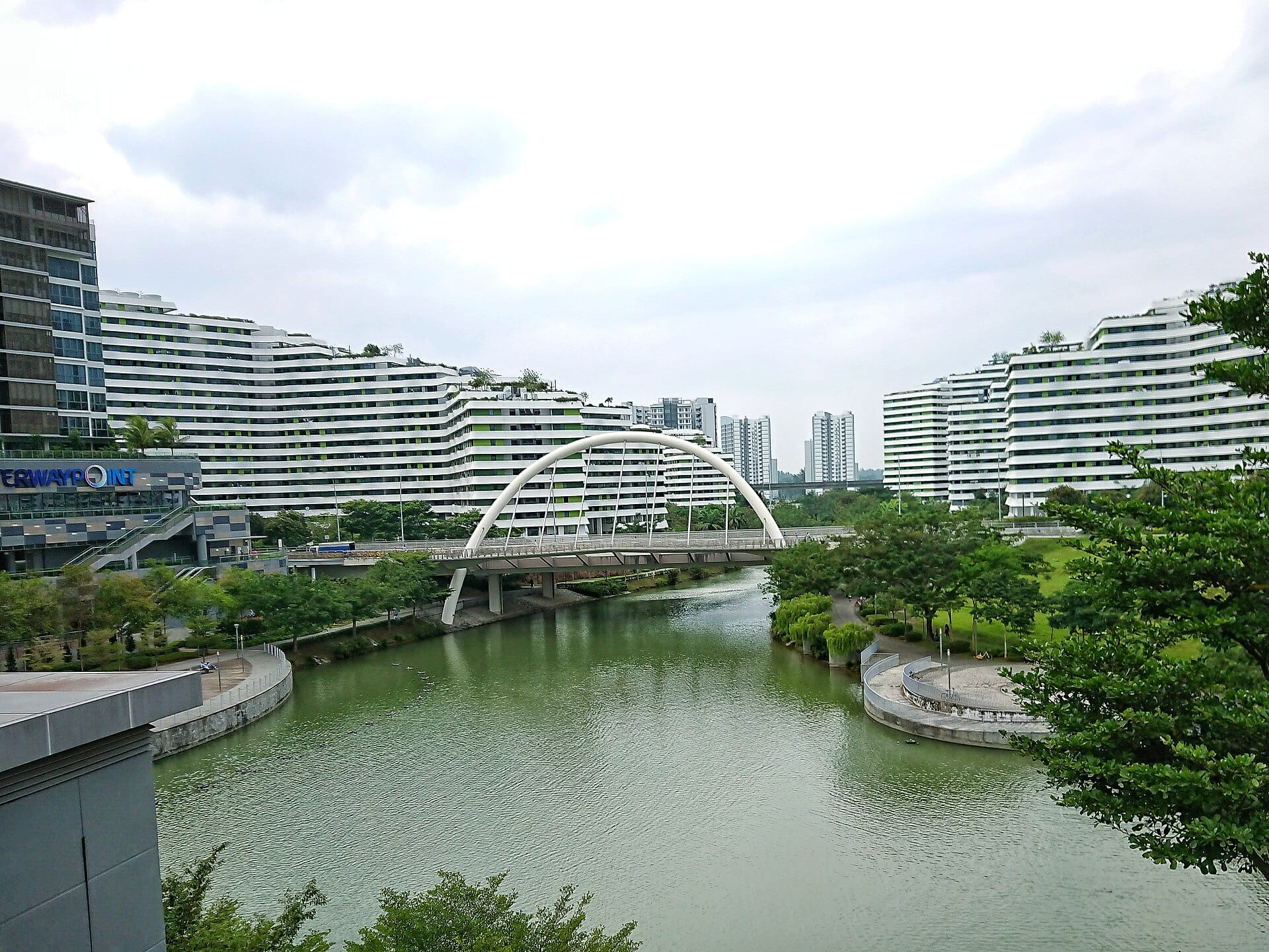
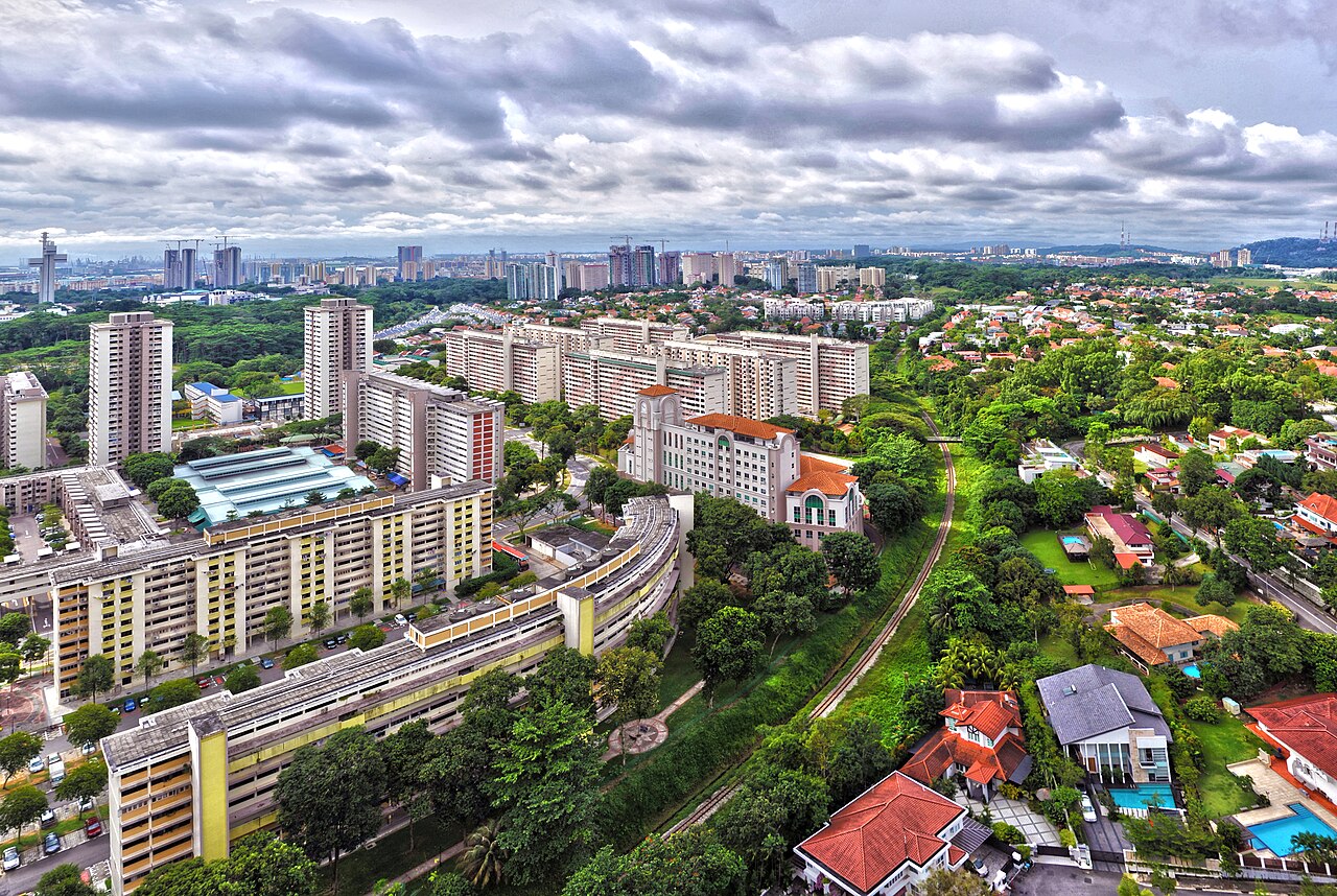
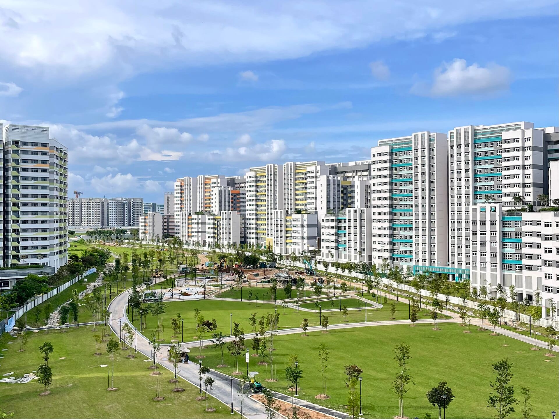
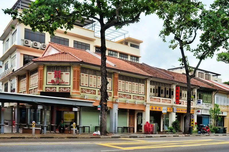
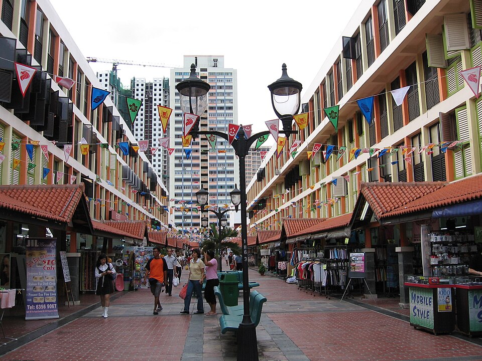
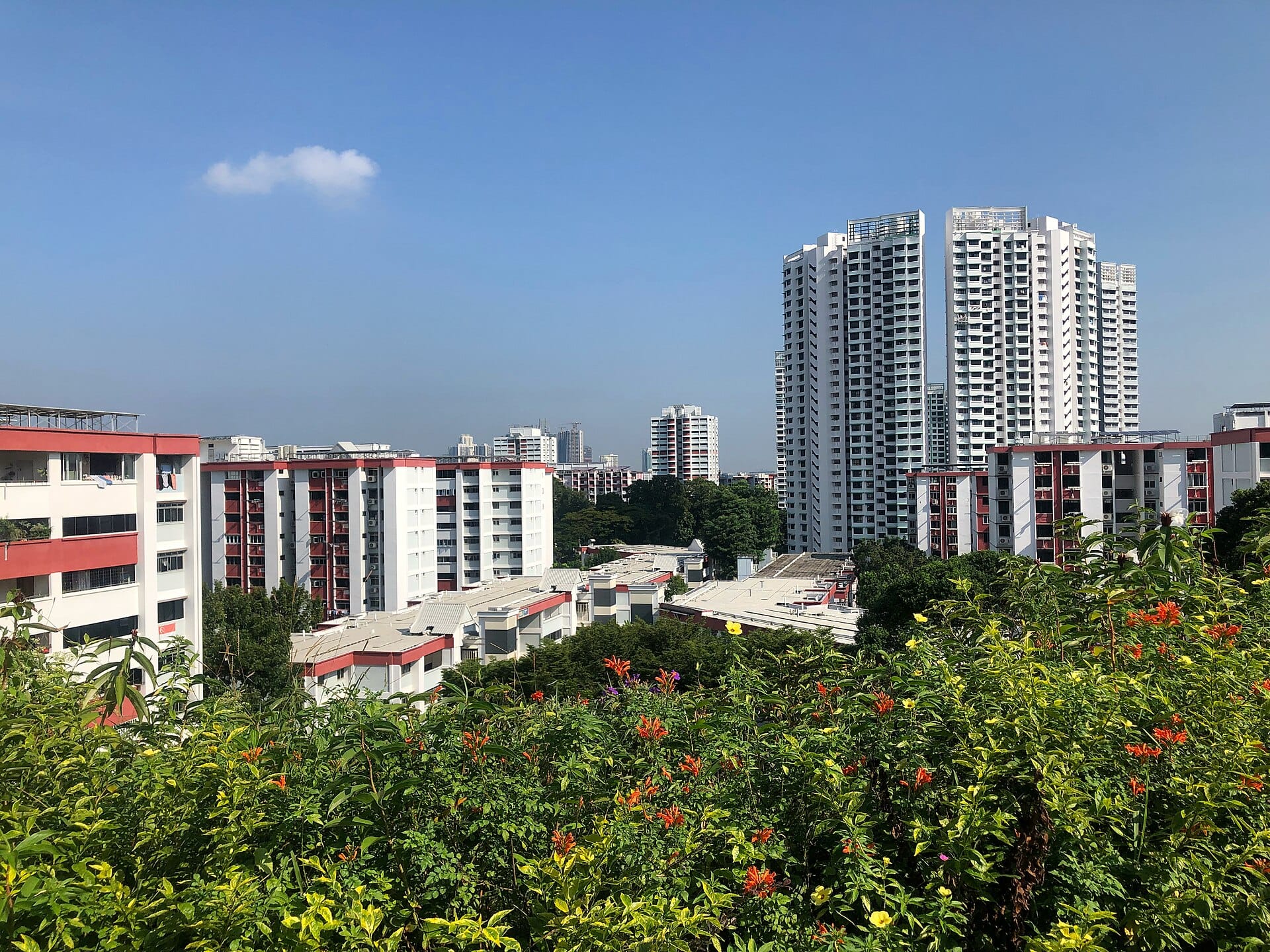
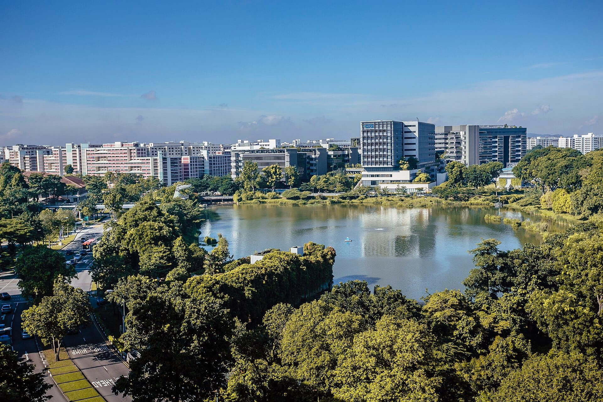
Image Credit
Ang Mo Kio photo by Chuttersnap via Wikicommons (opens in new tab) (CC BY-4.0)
Choa Chu Kang photo by zhenkang via Wikicommons (opens in new tab) (CC BY-SA 3.0)
Clementi photo by ZKang123 via Wikicommons (CC BY-SA 4.0) (opens in new tab)
Joo Chiat and Katong photo by Basile Morin via Wikicommons (opens in new tab) (CC BY-SA 4.0)
Jurong photo by Edsel Little via Wikicommons (opens in new tab) (CC BY-SA 2.0)
Punggol photo by Deoma12 via Wikicommons (opens in new tab) (CC BY-SA 4.0)
Queenstown photo by Chen Siyuan via Wikicommons (opens in new tab) (CC BY-SA 4.0)
Tampines photo by DreamyBeluga via Wikicommons (opens in new tab) (CC BY-SA 4.0)
Tiong Bahru photo by Choo Yut Shing via Flickr (opens in new tab) (CC BY-NC-SA 2.0)
Toa Payoh photo by Sengkang via Wikicommons (opens in new tab)
Woodlands photo by Wzhkevin via Wikicommons (opens in new tab) (CC BY-SA 4.0)
Yishun photo by KTPH via Wikicommons (opens in new tab) (CC BY-SA 4.0)