
Story Maps
The Civic District
15 December 2021
Learn about our Civic District in this Story Map
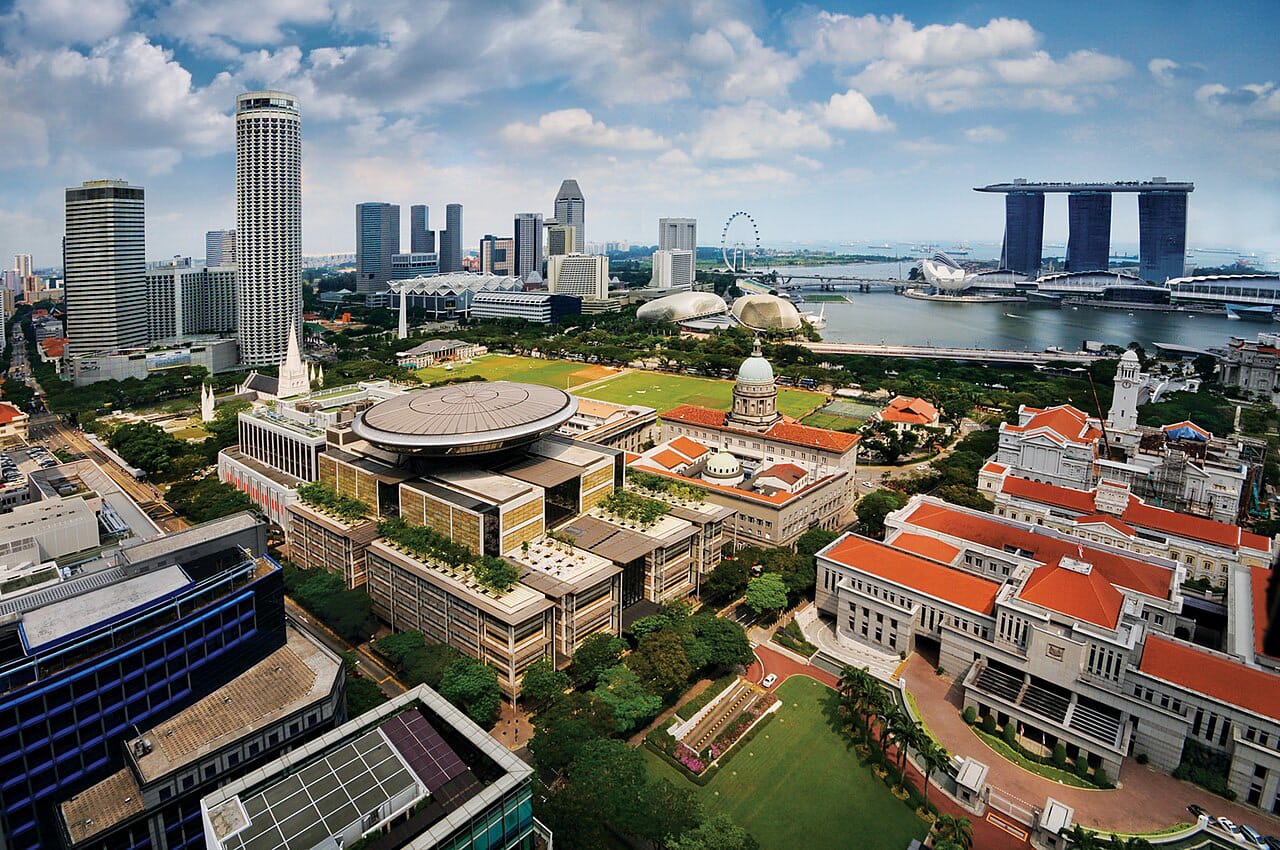
Home to some of Singapore’s most notable historic buildings, the Civic District stretches from Fort Canning to the Singapore River and the seafront beyond the Padang. It was demarcated in the Raffles Town Plan as an administrative zone for the colonial government in the 1820s. Since then, the area witnessed the proliferation of many neo-Classical colonial buildings such as the former Supreme Court, the Municipal building, the former Parliament House and the Victoria Theatre and Concert Hall. Today, many of these buildings are still standing, allowing the Civic District to become one of the districts with the most national monuments.
Take a trip back in time in this story map to learn more about the history of these iconic buildings.
View the story map in full screen (opens in new tab) or on your mobile device by scanning the QR code below.

Notes
This story map does not show a comprehensive coverage of the historic buildings and sites in the Civic District.
The base map used in this story map is the Singapore Land Authority's OneMap (opens in new tab).
This story map used related Infopedia articles and other NLB digitised resources in NL Online (opens in new tab), BiblioAsia (opens in new tab), and Roots (opens in new tab) as references. It also consulted the following books: Singapore Street Names: A Study of Toponymics (opens in new tab) (2013), Kampong Glam: A Heritage Trail (opens in new tab) (2012), What’s in the Name?: How the Streets and Villages in Singapore Got Their Names (opens in new tab) (2018), Ray Tyers’ Singapore: Then & Now (opens in new tab) (2018), Singapore: A Guide to Buildings, Streets, Places (opens in new tab) (1988), In Granite and Chunam: The National Monuments of Singapore (opens in new tab) (1996), and Singapore: A Pictorial History 1819-2000 (opens in new tab) (1999).
Image Credit
Photo by William Cho via Wikicommons (opens in new tab) (CC BY-SA 2.0)