
Story Maps
Kallang in the Past
15 December 2021
Explore the historic landmarks of Kallang
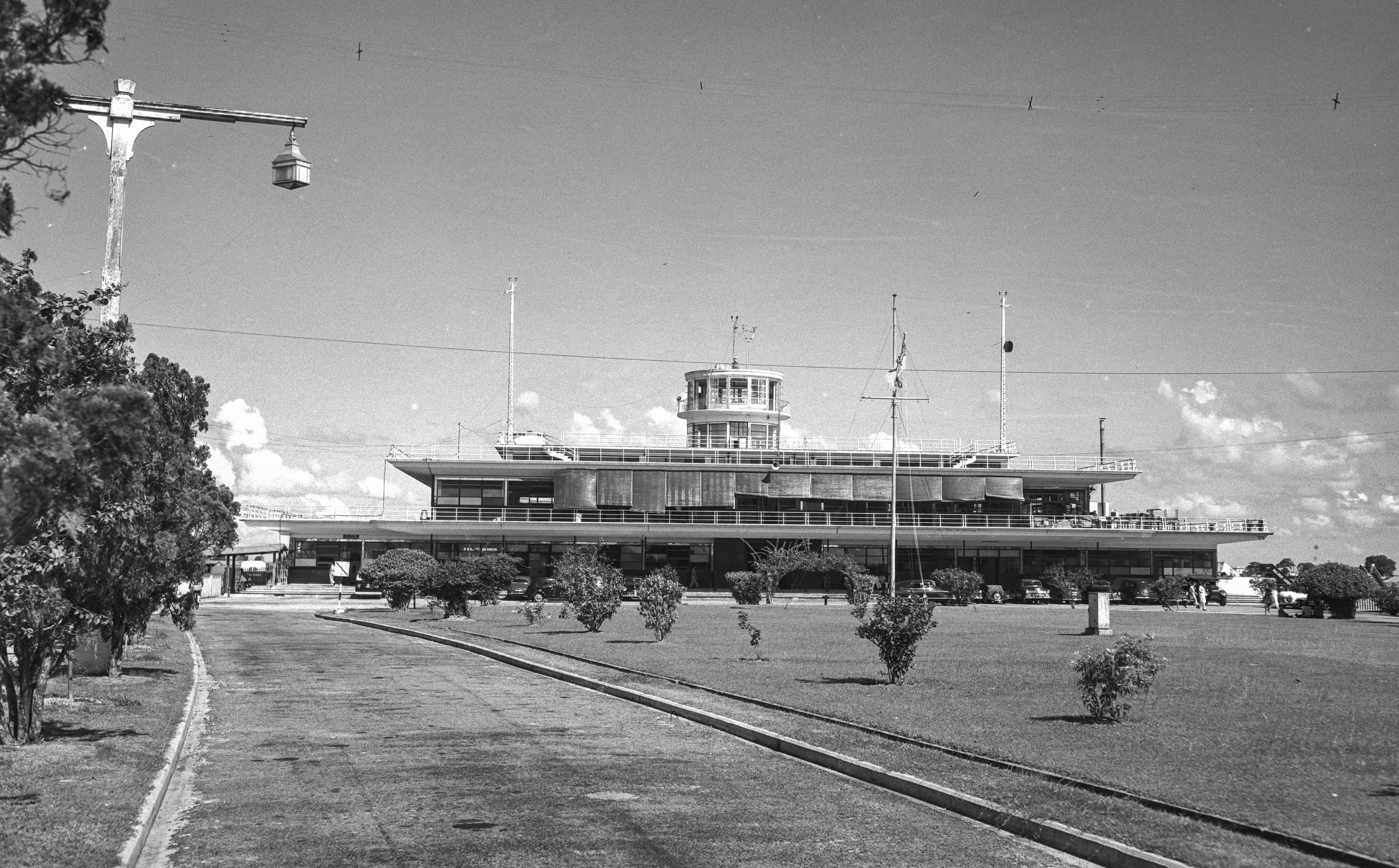
Kallang is not only the home to Kallang River which is the longest river in Singapore, but also the district where many historic landmarks including the former National Stadium, the Kallang Gasworks and the Kallang Airport were located. Learn where these landmarks were located and their history in this story map.
View the story map in full screen (opens in new tab) or on your mobile device by scanning the QR code below.

Notes
This story map is not a comprehensive coverage of all the historic landmarks found in Kallang.
The base map used in this story map is the Singapore Land Authority's OneMap (opens in new tab).
This story map used related Infopedia articles and other NLB digitised resources in NL Online (opens in new tab), BiblioAsia (opens in new tab), and Roots (opens in new tab) as references. It also consulted the following books: Singapore Street Names: A Study of Toponymics (opens in new tab) (2013), What’s in the Name?: How the Streets and Villages in Singapore Got Their Names (opens in new tab) (2018), Ray Tyers’ Singapore: Then & Now (opens in new tab) (2018), Singapore: A Guide to Buildings, Streets, Places (opens in new tab) (1988), In Granite and Chunam: The National Monuments of Singapore (opens in new tab) (1996), Singapore: A Pictorial History 1819-2000 (opens in new tab) (1999), Tidal Fortunes: A Story of Change: The Singapore River and Kallang Basin (opens in new tab) (1990), Our Home by the Kallang River: Past, Present and Future (opens in new tab) (2019), The Kallang Story: A Sports, Arts and Heritage Trail (opens in new tab) (2019), and A Kampong and Its Temple: Change and Tradition in Kampong Sar Kong and the Mun San Fook Tuck Chee (opens in new tab) (2016).
Image Credit
Photo from Ministry of Information and the Arts Collection, courtesy of National Archives of Singapore (opens in new tab)