
Story Maps
Streets of Bras Basah
15 December 2021
Travel back in time to learn about the streets of Bras Basah
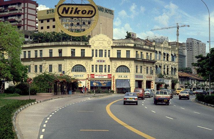
Bras Basah is one of Singapore’s oldest districts. With a name derived from the Malay term ‘wet rice’ which were once laid out on the banks of Bras Basah River (today’s Stamford Canal), it was marked out by Sir Stamford Raffles as part of the European Town in 1822 and had served as the suburb to the built-up areas which included the Commercial Square (today’s Raffles Place) district. As a result, the Bras Basah area is crisscrossed with many streets including some of the oldest in Singapore.
Take a trip back in time in this story map to learn more about streets in Bras Basah.
View the story map in full screen (opens in new tab) or on your mobile device by scanning the QR code below.

Notes
This story map does not show a comprehensive coverage of the streets in Bras Basah.
The base map used in this story map is the Singapore Land Authority's OneMap (opens in new tab).
This story map used related Infopedia articles and other NLB digitised resources in NL Online (opens in new tab), BiblioAsia (opens in new tab), and Roots (opens in new tab) as references. It also consulted the following books: Singapore Street Names: A Study of Toponymics (opens in new tab) (2013), What’s in the Name?: How the Streets and Villages in Singapore Got Their Names (opens in new tab) (2018), Ray Tyers’ Singapore: Then & Now (opens in new tab) (2018), Singapore: A Guide to Buildings, Streets, Places (opens in new tab) (1988), In Granite and Chunam: The National Monuments of Singapore (opens in new tab) (1996), and Singapore: A Pictorial History 1819-2000 (opens in new tab) (1999).
Image Credit
Photo from Ronni Pinsler Collection, courtesy of National Archives of Singapore (opens in new tab)