
Story Maps
Orchard Road
15 December 2021
Take a trip back in time to see how Orchard Road was like
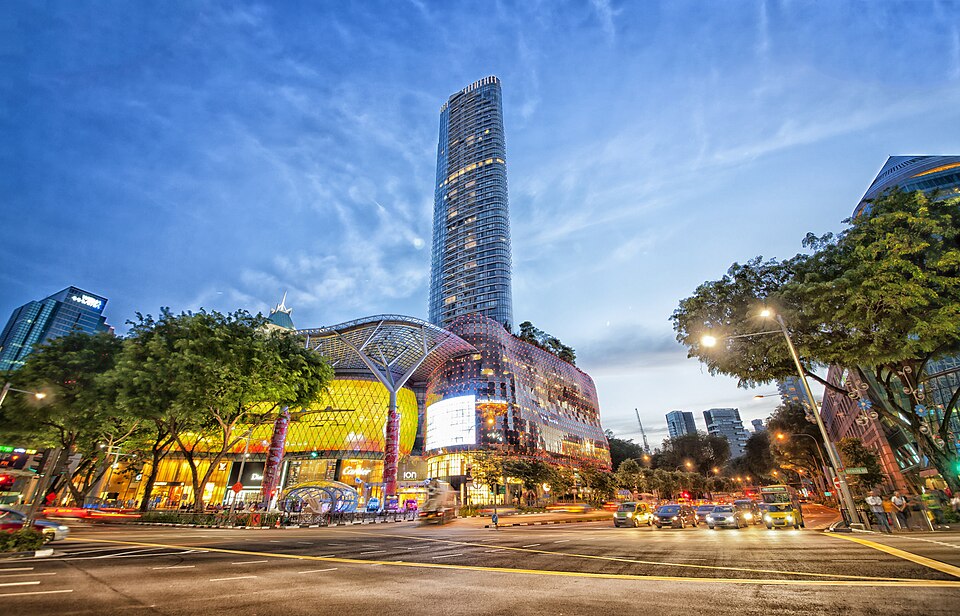
Originally a hilly suburban fringe sandwiched between the main commercial town area and Tanglin, Orchard Road is now arguably Singapore’s most iconic street. The bustling street lined with shiny megamalls is almost unrecognisable from the cluster of spice plantations and fruit orchards it was in the early 19th century, and later for a large part of the 20th century, a suburban residential and commercial street lined with low-rise shophouses.
Take a trip back in time in this story map to learn more about the transformation of Orchard Road as well as the historical places that once stood along this iconic road.
View the story map in full screen (opens in new tab) or on your mobile device by scanning the QR code below.

Notes
This story map does not show a comprehensive coverage of the places of interest in Orchard Road.
The base map used in this story map is the Singapore Land Authority's OneMap (opens in new tab).
This story map used related Infopedia articles and other NLB digitised resources in NL Online (opens in new tab), BiblioAsia (opens in new tab), and Roots (opens in new tab) as references. It also consulted the following books: Singapore Street Names: A Study of Toponymics (opens in new tab) (2013), What’s in the Name?: How the Streets and Villages in Singapore Got Their Names (opens in new tab) (2018), Orchard: A Heritage Trail and Companion Guide (opens in new tab) (2018), Ray Tyers’ Singapore: Then & Now (opens in new tab) (2018), Singapore: A Guide to Buildings, Streets, Places (opens in new tab) (1988), and Singapore: A Pictorial History 1819-2000 (opens in new tab) (1999).
Image Credit
Photo by chensiyuan via Wikicommons (opens in new tab) (CC BY-SA 4.0)