
Story Maps
Tiong Bahru
15 December 2021
Explore the places and landmarks of Tiong Bahru
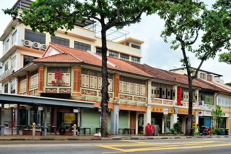
An estate of architectural, cultural and historic significance, Tiong Bahru was developed in the 1920s as Singapore’s first public housing estate by the Singapore Improvement Trust (SIT), the colonial predecessor of today's Housing Development Board. Apart from being used as a burial ground, the area in the early days was used for cultivations, and by military personnel from the Sepoy Lines fortification at Pearl’s Hill.
Take a trip back in time in this story map to learn more about Tiong Bahru, its history and the places of interest.
View the story map in full screen (opens in new tab) or on your mobile device by scanning the QR code below.

Notes
This story map does not show a comprehensive coverage of the places of interest in Tiong Bahru.
The base map used in this story map is the Singapore Land Authority's OneMap (opens in new tab).
This story map used related Infopedia articles and other NLB digitised resources in NL Online (opens in new tab), BiblioAsia (opens in new tab), and Roots (opens in new tab) as references. It also consulted the following books: Singapore Street Names: A Study of Toponymics (opens in new tab) (2013), What’s in the Name?: How the Streets and Villages in Singapore Got Their Names (opens in new tab) (2018), Tiong Bahru: Heritage Trail (opens in new tab) (2013), Ray Tyers’ Singapore: Then & Now (opens in new tab) (2018), Singapore: A Guide to Buildings, Streets, Places (opens in new tab) (1988), and Singapore: A Pictorial History 1819-2000 (opens in new tab) (1999).
Image Credit
Photo by Choo Yut Shing via Flickr (opens in new tab) (CC BY-NC-SA 2.0)