
Story Maps
Streets of Little India
15 December 2021
Uncover the stories encoded in the streets of Little India
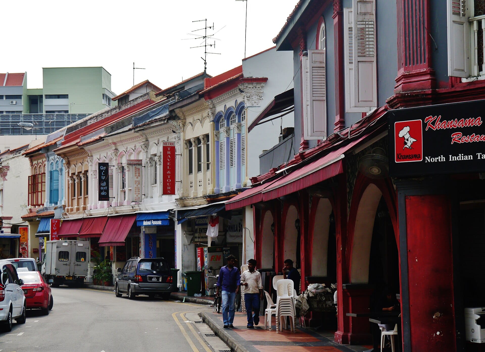
The name of a place is a marker of identity – it can tell us a lot about that place, such as its history, culture and development. As its name suggests, Little India is an ethnic enclave for the Indian community in Singapore, yet what do the road names, like “Serangoon Road” and “Kerbau Road” mean?
Take a look at some of them in this story map on the streets of Little India.
View the story map in full screen (opens in new tab) or on your mobile device by scanning the QR code below.

Notes
This story map does not show a comprehensive coverage of the streets in Little India.
The base map used in this story map is the Singapore Land Authority's OneMap (opens in new tab).
This story map used related Infopedia articles and other NLB digitised resources in NL Online (opens in new tab), BiblioAsia (opens in new tab), and Roots (opens in new tab) as references. It also consulted the following books: Singapore Street Names: A Study of Toponymics (opens in new tab) (2013), Little India: Heritage Trail (opens in new tab) (2017), What’s in the Name?: How the Streets and Villages in Singapore Got Their Names (opens in new tab) (2018), Ray Tyers’ Singapore: Then & Now (opens in new tab) (2018), Singapore: A Guide to Buildings, Streets, Places (opens in new tab) (1988), In Granite and Chunam: The National Monuments of Singapore (opens in new tab) (1996), and Singapore: A Pictorial History 1819-2000 (opens in new tab) (1999).
Image Credit
Photo by KimonBerlin via Wikicommons (opens in new tab) (CC BY 2.0)