
Story Maps
Queenstown
15 December 2021
Explore the heritage of Queenstown
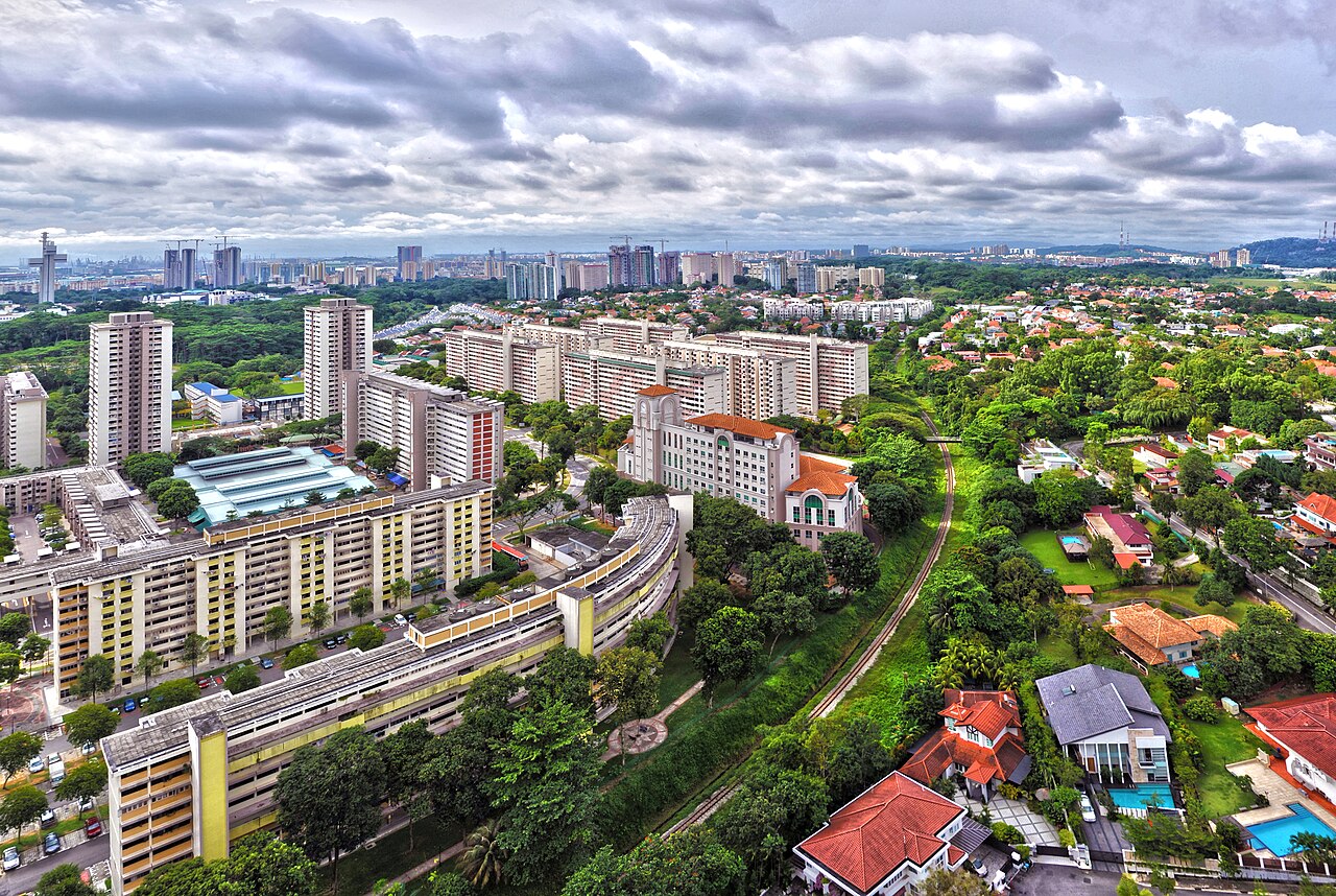
Development of Queenstown first began in 1952 by the Singapore Improvement Trust (SIT), and it was named as such to commemorate the coronation of Queen Elizabeth II. Formerly a swampy valley, it was developed into Singapore’s first satellite town, and holds many of Singapore’s firsts including the first branch library, the first neighbourhood sports complex and the first polyclinic. Today, Queenstown is filled with mementos of the past and there is a historical landmark at every turn.
Join us in walking down memory lane as we explore the heritage of Queenstown through this storymap.
View the story map in full screen (opens in new tab) or on your mobile device by scanning the QR code below.

Notes
This story map does not show a comprehensive coverage of the historical buildings and landmarks in Queenstown.
The base map used in this story map is the Singapore Land Authority's OneMap (opens in new tab).
This story map used related Infopedia articles and other NLB digitised resources in NL Online (opens in new tab), BiblioAsia (opens in new tab), and Roots (opens in new tab) as references. It also consulted the following books: Singapore Street Names: A Study of Toponymics (opens in new tab) (2013), What’s in the Name?: How the Streets and Villages in Singapore Got Their Names (opens in new tab) (2018), Ray Tyers’ Singapore: Then & Now (opens in new tab) (2018), Singapore: A Guide to Buildings, Streets, Places (opens in new tab) (1988), My Queenstown Heritage Trail (opens in new tab) (2015), 10-stories: Queenstown through the Years (opens in new tab) (2007), and Queenstown: A Heritage Trail (opens in new tab) (2008).
This story map was made by Serene Koh and Megan Wee.
Image Credit
Photo by Chen Siyuan via Wikicommons (opens in new tab) (CC BY-SA 4.0)