
Story Maps
Punggol
15 December 2021
Explore Punggol in this story map
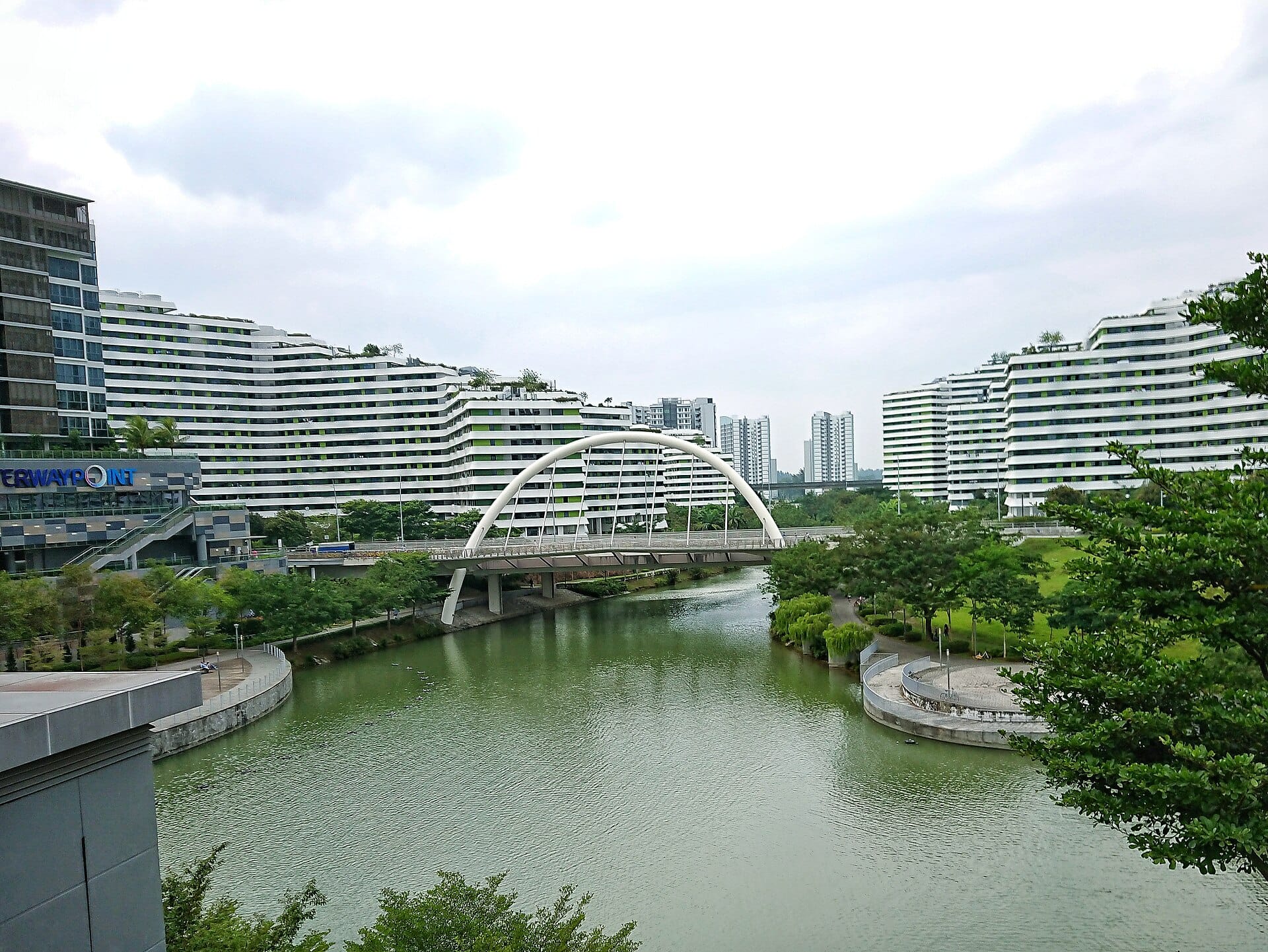
Under the “Punggol 21 Plus” plan, Punggol is a housing estate situated in the northeast of Singapore, bordered by the Tampines Expressway, Sungei Punggol, Strait of Johor, Serangoon Harbour and Sungei Serangoon. But do you know that in the past, Sengkang and parts of Hougang were also considered part of Punggol? In fact, Hougang Avenue 8 and 10 were once part of Punggol Road.
Discover these interesting facts as well as some of Punggol’s iconic landmarks in this story map.
View the story map in full screen (opens in new tab) or on your mobile device by scanning the QR code below.

Notes
This story map does not show a comprehensive coverage of the buildings and landmarks of Punggol.
The base map used in this story map is the Singapore Land Authority's OneMap (opens in new tab).
This story map used related Infopedia articles and other NLB digitised resources in NL Online (opens in new tab), BiblioAsia (opens in new tab), Roots (opens in new tab) and Remember Singapore (opens in new tab) as references. It also consulted the following sources: Punggol 21: A waterfront town of the 21st century (opens in new tab) (1996), Punggol Revisited (opens in new tab) (1996). (1987), Singapore Street Names: A Study of Toponymics (opens in new tab) (2013), and What’s in the Name?: How the Streets and Villages in Singapore Got Their Names (opens in new tab) (2018)
This story map was made by Lee Meiyu.
Image Credit
Photo by Deoma12 via Wikicommons (opens in new tab) (CC BY-SA 4.0)