
Story Maps
Kampong Glam
15 December 2021
Learn more about the history of Kampong Glam
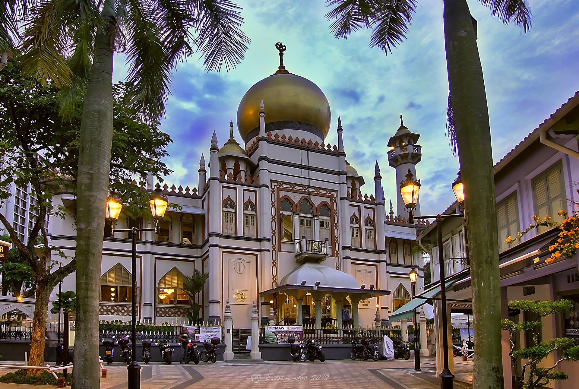
The Kampong Glam conservation area, bounded by Ophir Road, Victoria Street, Jalan Sultan and Beach Road, is a rich heritage site. Once the residence of the Bugis, Arab, Javanese and Boyanese communities as well as traders from other ethnic communities, it houses many buildings and sites that are imbued with their stories.
In this story map, learn more about the history of these iconic landmarks, and immerse yourself in Kampong Glam’s old-world charm.
View and listen to the story map in full screen (opens in new tab) or on your mobile device by scanning the QR code below.

Notes
This story map does not show a comprehensive coverage of the historic landmarks found in Kampong Glam.
The base map used in this story map is the Singapore Land Authority's OneMap (opens in new tab).
This story map used related Infopedia articles and other NLB digitised resources in NL Online (opens in new tab), BiblioAsia (opens in new tab), and Roots (opens in new tab) as references. It also consulted the following books: Singapore Street Names: A Study of Toponymics (opens in new tab) (2013), Kampong Glam: A Heritage Trail (opens in new tab) (2012), What’s in the Name?: How the Streets and Villages in Singapore Got Their Names (opens in new tab) (2018), Ray Tyers’ Singapore: Then & Now (opens in new tab) (2018), Singapore: A Guide to Buildings, Streets, Places (opens in new tab) (1988), In Granite and Chunam: The National Monuments of Singapore (opens in new tab) (1996), and Singapore: A Pictorial History 1819-2000 (opens in new tab) (1999).
The 360 VR tours of the various landmarks in this story map are created by the National Library Board's PixelStudio.
Image Credit
Photo by Erwin Soo via Wikicommons (opens in new tab) (CC BY 2.0)