
Story Maps
Jurong
15 December 2021
Discover Jurong in this story map
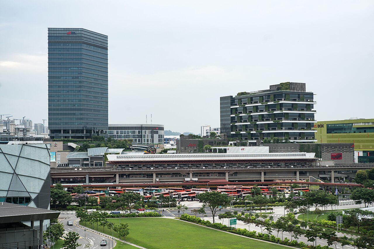
Jurong was transformed during the nation-building years into Singapore’s first industrial estate. This was part of the government’s plan to generate mass employment through industrialisation. Once a swampland, Jurong rapidly developed into a self-sufficient new town with housing, social and leisure amenities. Today, Jurong has embarked on its latest phase of redevelopment as the largest commercial and regional hub outside Singapore’s city centre. Discover some of its iconic landmarks past and present in this story map.
View the story map in full screen (opens in new tab) or on your mobile device by scanning the QR code below.

Notes
This story map does not show a comprehensive coverage of the buildings and landmarks of Jurong.
The base map used in this story map is the Singapore Land Authority's OneMap (opens in new tab).
This story map used related Infopedia articles and other NLB digitised resources in NL Online (opens in new tab), BiblioAsia (opens in new tab), and Roots (opens in new tab) as references. It also consulted the following books: Singapore Street Names: A Study of Toponymics (opens in new tab) (2013), Jurong: Heritage Trail (opens in new tab) (2015), What’s in the Name?: How the Streets and Villages in Singapore Got Their Names (opens in new tab) (2018), Ray Tyers’ Singapore: Then & Now (opens in new tab) (2018), and Singapore: A Guide to Buildings, Streets, Places (opens in new tab) (1988).
Image Credit
Photo by Edsel Little via Wikicommons (opens in new tab) (CC BY-SA 2.0)