
Story Maps
Joo Chiat and Katong
5 June 2026
Explore the buildings and places of Joo Chiat and Katong
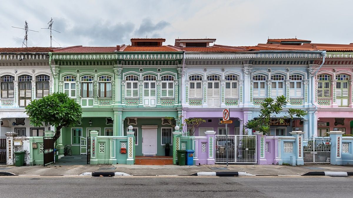
Once a 19th-century landscape of plantations and seaside bungalows, the Joo Chiat and Katong area has quickly evolved into a vibrant residential hub rich in Eurasian and Peranakan heritage, as well as beautifully conserved colonial shophouses. It is also dotted with nostalgic 1970s-style kopitiams together with trendy cafes and independent boutiques. Dive into our story map on the Joo Chiat and Katong area to explore its incredible transformation and unique blend of old and new.
Find out the name and history of these buildings in this story map (opens in new tab) or by scanning the QR code below.

Notes
This story map does not show a comprehensive coverage of the buildings, landmarks and villages of Joo Chiat and Katong.
The base map used in this story map is the Singapore Land Authority’s OneMap (opens in new tab).
This story map used related Infopedia articles and other NLB digitised resources in NL Online (opens in new tab), BiblioAsia (opens in new tab), and Roots (opens in new tab) as references. A full reference list can be found in the story map.
Image Credit
Photo by Basile Morin via Wikicommons (opens in new tab) (CC BY-SA 4.0)