
Story Maps
Clementi
10 September 2026
Explore Clementi with this story map
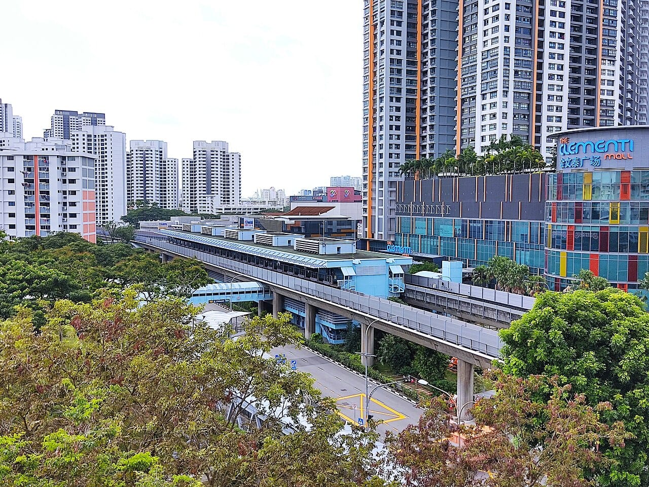
Clementi is the eighth new town developed by the Housing and Development Board, with major construction occurring between 1975 and 1979. Before urbanisation, the area consisted of villages, agricultural settlements, and the British military's Colombo Camp. Following rapid development, Clementi transformed into a well-connected academic hub offering a dynamic blend of residential living, commercial activity, and vibrant green spaces.
Explore the different places of interest in Clementi in this story map.
Find out more about Clementi with this story map (opens in new tab) or by scanning the QR code below.

Notes
This story map does not show a comprehensive coverage of the buildings and landmarks of Clementi.
The base map used in this story map is the Singapore Land Authority’s OneMap (opens in new tab).
This story map used related Infopedia articles and other NLB digitised resources in NL Online (opens in new tab), BiblioAsia (opens in new tab), and Roots (opens in new tab) as references. A full reference list can be found in the story map.