
Story Maps
Choa Chu Kang and Lim Chu Kang
20 June 2022
Explore these two places in this Story Map
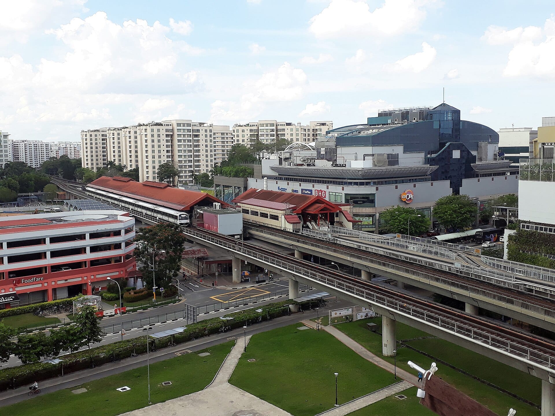
Choa Chu Kang and Lim Chu Kang derived their names from the village settlements that sprang out in the northwestern part of Singapore following the proliferation of gambier and pepper plantations in the area during the early 19th century. Since then, the area has witnessed significant changes. Today, Choa Chu Kang is a modern, self-sufficient new town, while Lim Chu Kang is Singapore’s agrotechnology hub and eco-tourism destination.
Discover more about the two chukangs and their histories through this story map.
View the story map in full screen (opens in new tab) or on your mobile device by scanning the QR code below.

Notes
This story map does not show a comprehensive coverage of the places of interest in Choa Chu Kang and Lim Chu Kang.
The base map used in this story map is the Singapore Land Authority's OneMap (opens in new tab).
This story map used related Infopedia articles and other NLB digitised resources in NL Online (opens in new tab), BiblioAsia (opens in new tab), and Roots (opens in new tab) as references. It also consulted the following materials: Singapore Street Names: A Study of Toponymics (opens in new tab) (2013), What’s in the Name?: How the Streets and Villages in Singapore Got Their Names (opens in new tab) (2018), Central water catchment, Lim Chu Kang, north-eastern islands, Tengah, western islands, western water catchment planning areas: Planning report 1997 (opens in new tab) (1998), Choa Chu Kang planning area: Planning report 1996 (opens in new tab) (1996), Housing Development Board webpage on Choa Chu Kang (opens in new tab) (2026), Remember Singapore website (opens in new tab), and Mothership's "Ever wonder why Choa Chu Kang is called Choa Chu Kang?" article (opens in new tab).
Image Credit
Photo by zhenkang via Wikicommons (opens in new tab) (CC BY-SA 3.0)